Above From Kentucky Download Assist
Site Version 1.0
FREE TOOLS
or
Phase 2 DEM Download List by County
or
Phase 3 Orthographic 3 Inch Pixel Photos Download List by County
Kentucky From Above is an incredible resource — but it isn’t always friendly if you’re using the excellent, open‑source, free GIS software QGIS instead of commercial tools.
Our mission is simple: save you time and money.
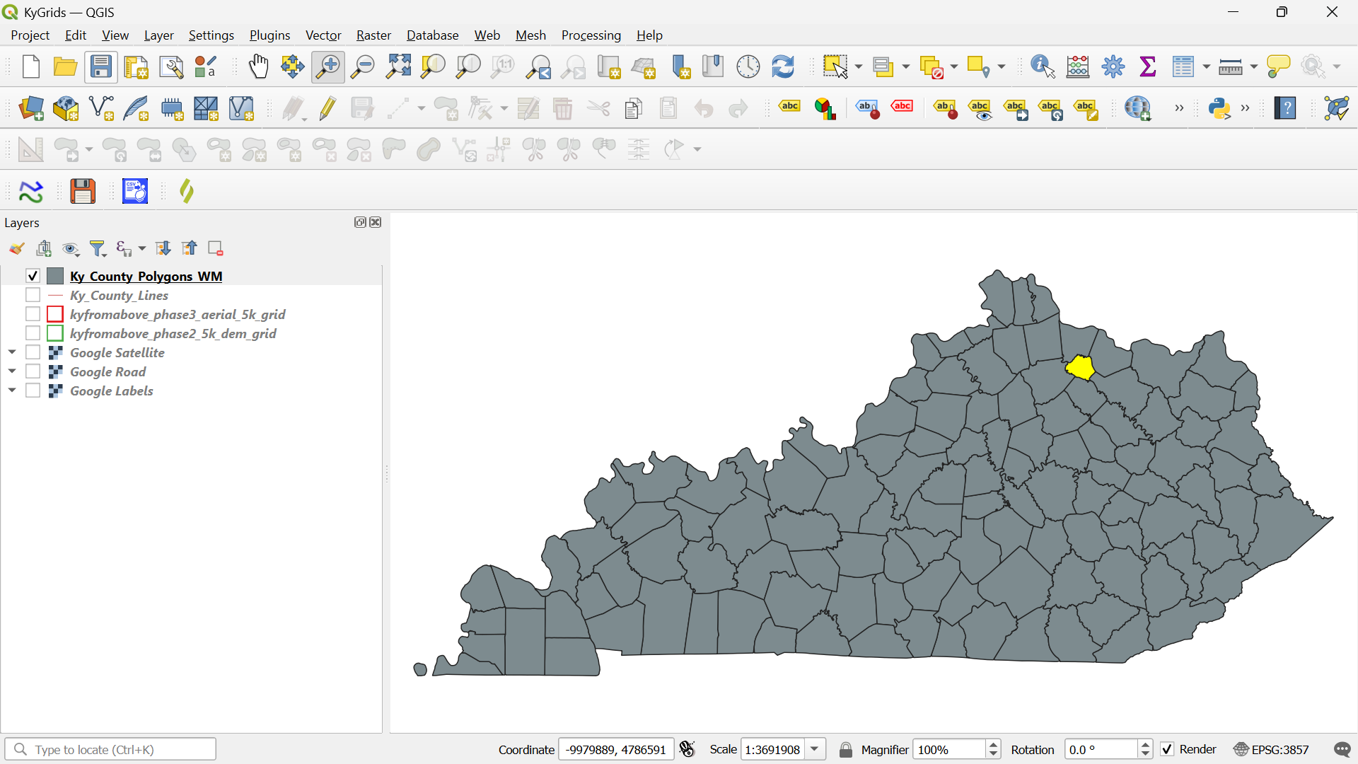
County Bounding Boxes
County Bounding BoxesWe provide a complete, ready‑to‑use QGIS base map for your county, along with physical storage media containing:
- Phase 2 DEM data
- Phase 3 Ortho imagery
Your base map includes everything you normally hunt for across multiple URLs — including your 5000‑foot grid with labeled tiles for fast, local access. No more waiting on large downloads.
If desired, we can also schedule a one‑day, on‑site training session to teach you how to get the most out of your QGIS county base map.